Logo 1 Logo 2


West Virginia's Drone Experts

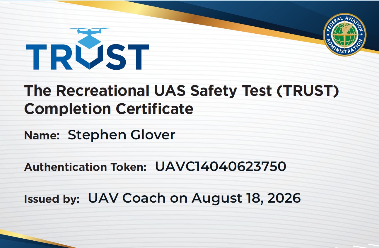
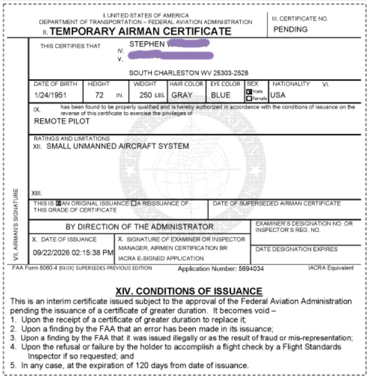
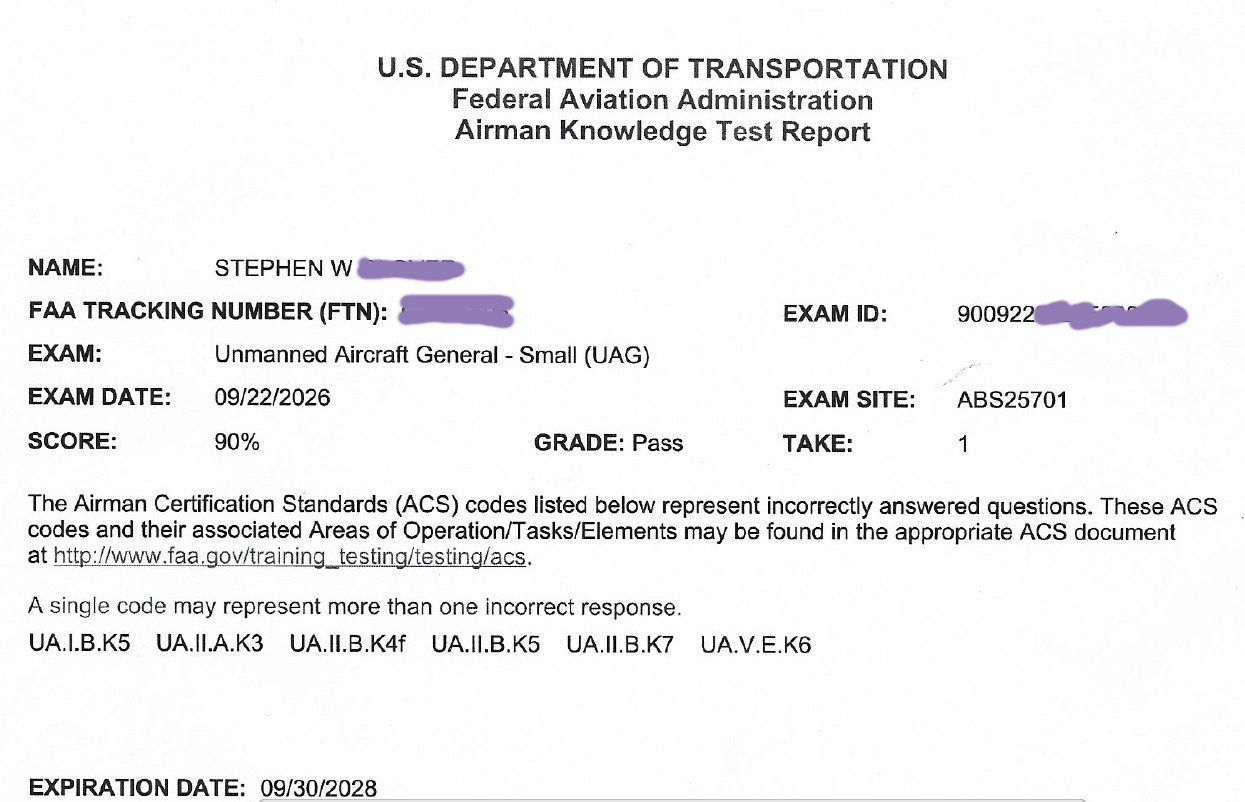
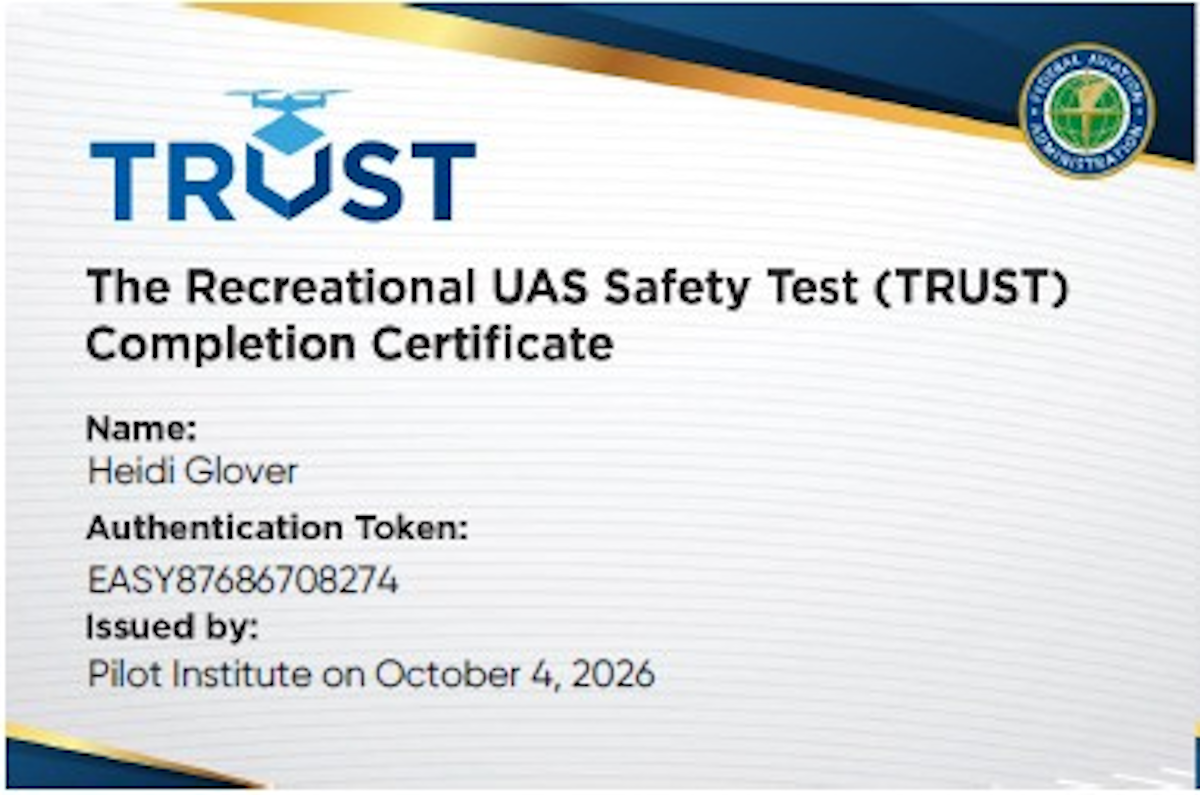
FAA Certified Remote Pilots

Aerial photography, land surveying & mapping, and roof inspections — precision from above, rooted in the Mountain State.
Veteran Owned - Fully Licensed and Insured


Click on photos for closer look.

What we Do

Professional Drone Sevices

Aerial photography, land surveying & mapping, and roof inspections — precision from above, rooted in the Mountain State.
Img 1
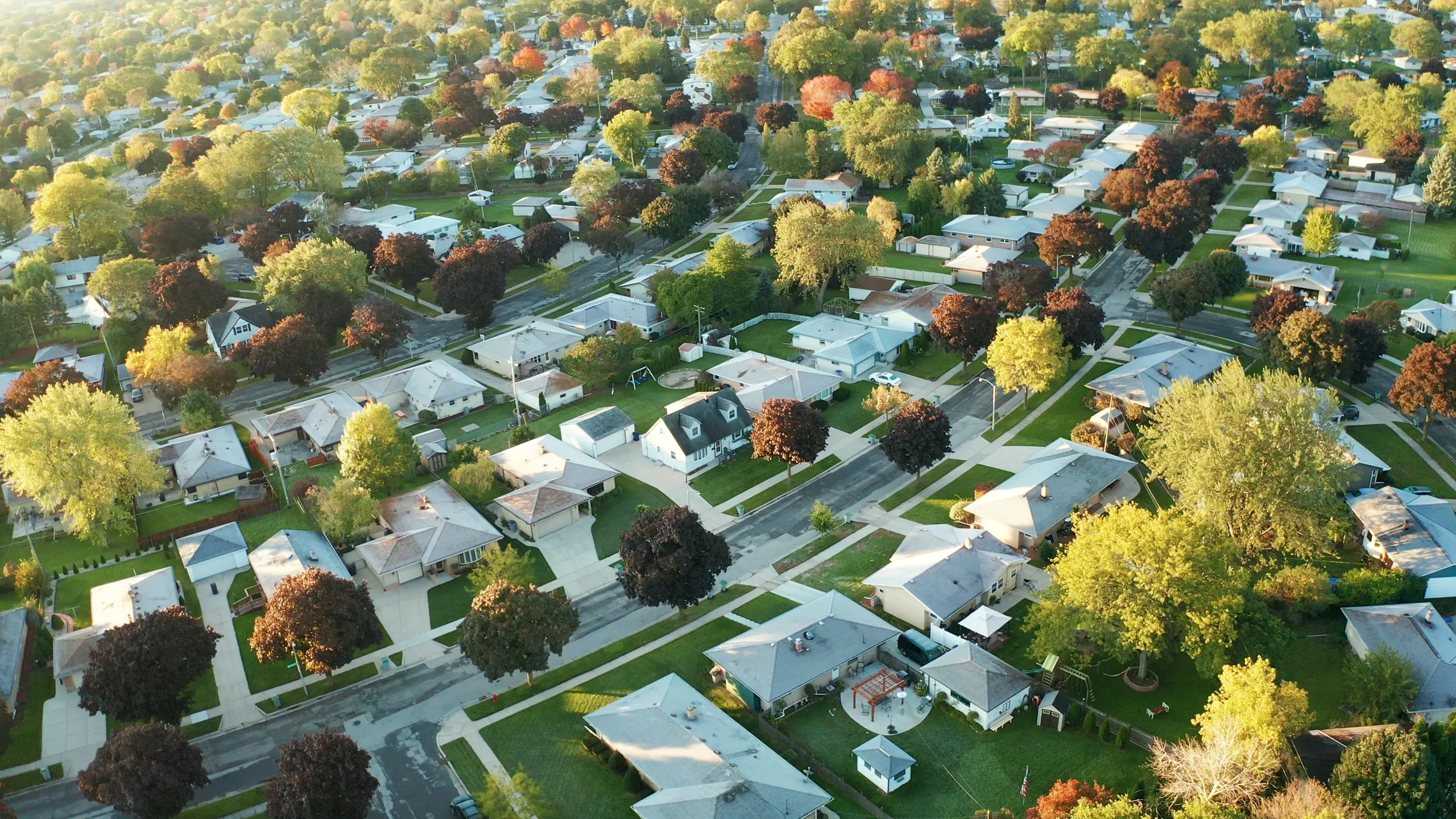
Aerial Photography & Videography Stunning high-resolution imagery and cinematic video from above. Perfect for real estate listings, property showcases, and marketing materials that make an impression.
Img 3
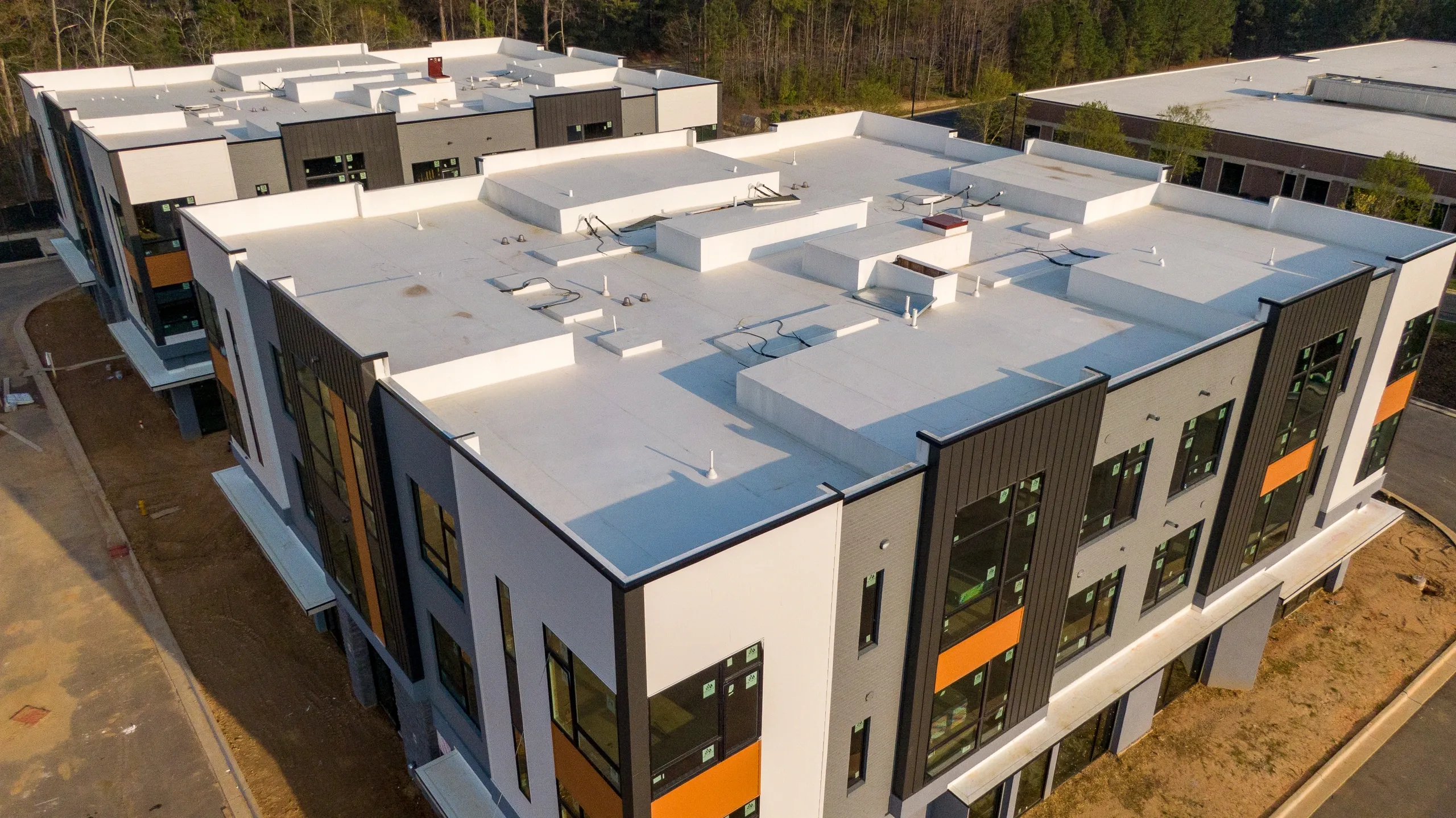
Roof & Infrastructure Inspection Safe, thorough aerial inspections of roofs, structures, and hard-to-reach areas — detailed reports without the risk or cost of traditional methods.
Img 2
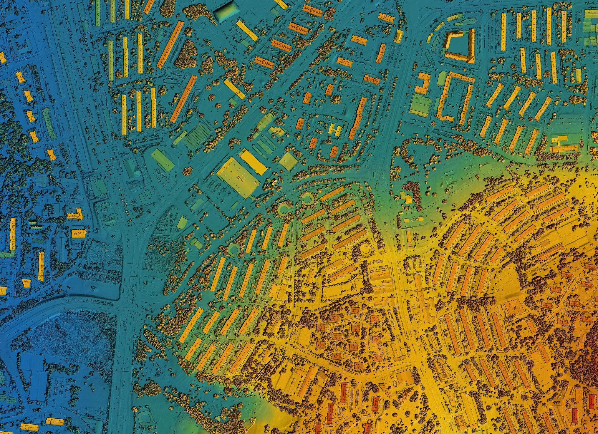
Land Surveying & Mapping Accurate topographic data, 3D models, and detailed maps for construction, land development, and property assessment across West Virginia's varied terrain.

FAA Certified Drone Pilots Fully licensed and compliant with all FAA regulations for commercial drone operations
Locally Owned Raised in WV Born and raised in West Virginia — we know the terrain, the communities, and our neighbors. Fully Insured
Fast Turnaround 48 Hours Edited photos and reports delivered within 48 hours so your projects stay on schedule